- Topics
-
Topics
See our analysis on civil society and how it shapes culture, politics, and policies
Read our insights on the shifting political landscape and what it means for Palestine
Learn more about the policies and practices shaping the Palestinian economy
Strengthen your understanding of the unique conditions for Palestinian refugees across the Middle East
-
- Analysis
-
Analysis
In-depth analysis on existing or potential policies that impact possibilities for Palestinian liberation.
Insights and perspectives on social, political, and economic questions related to Palestine and Palestinians globally.
Concise analysis into a specific policy, its background and implications.
Commentary that brings together insights from multiple analysts.
Compilations of past Al-Shabaka works surrounding a specific theme.
Longer-form, ad hoc projects that seek to confront research questions outside the scope of our regular analysis.
A policy-driven research initiative by Al-Shabaka: The Palestinian Policy Network.
Our monthly webinar series that brings together Palestinian experts.
Featured
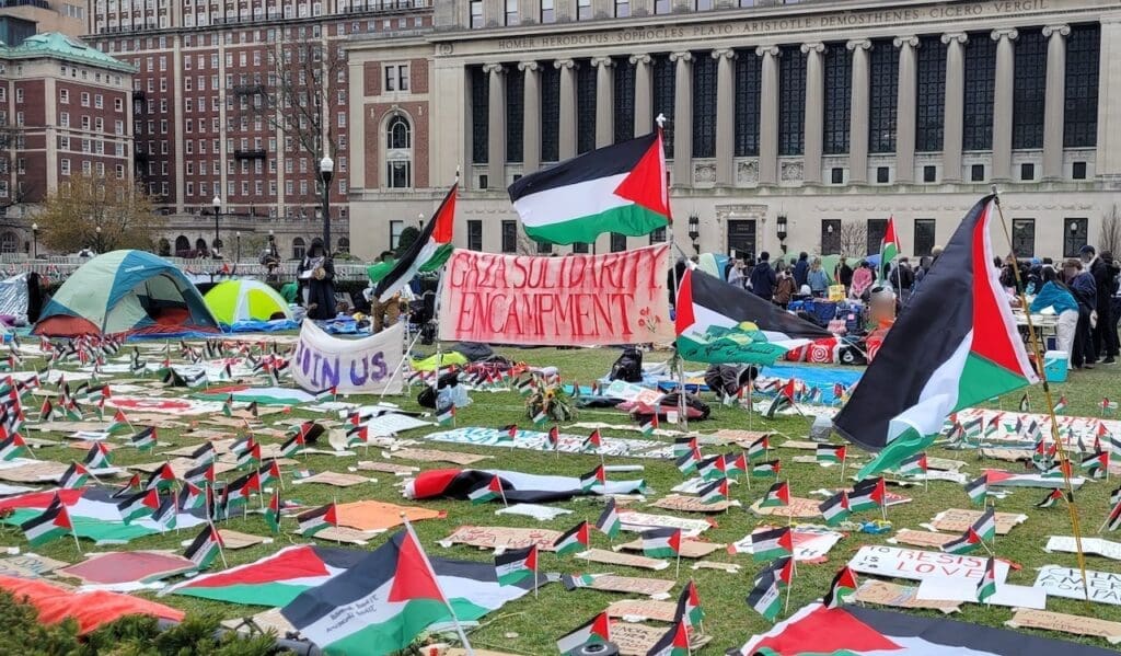
In this commentary, Samer Alatout offers key insights into this new wave of student mobilization. He details student demands and places them within the historical legacy of US student organizing. He also examines the relationship between university administrators, students, and faculty, and finds hope in the kinship emerging between the latter two groups at this critical moment. Samer Alatout· Jul 14, 2024
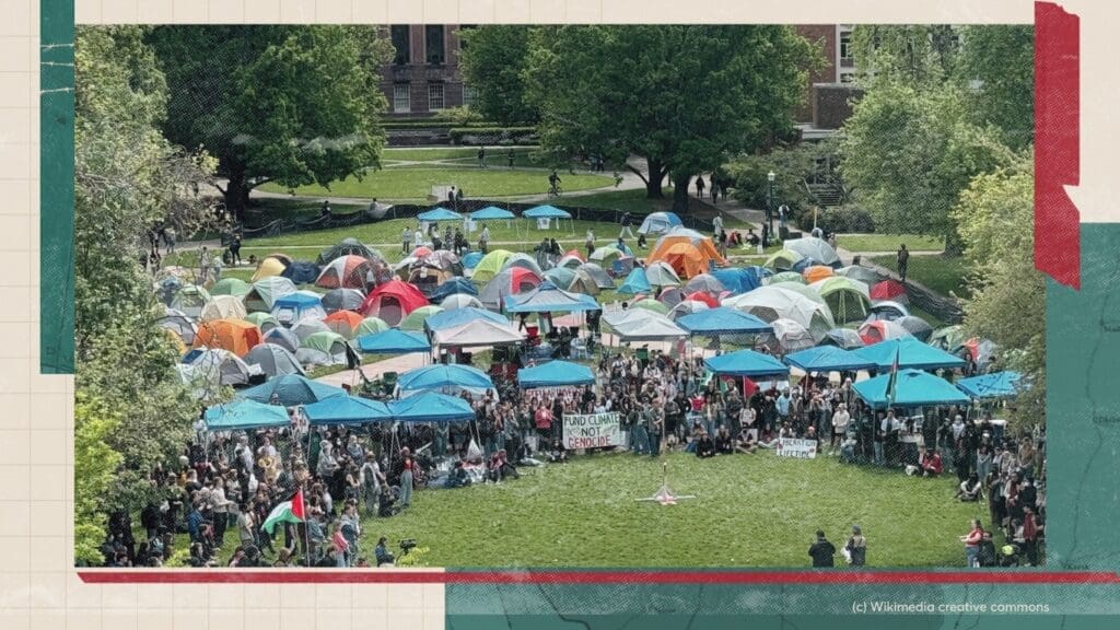 In this policy lab, Nour Joudah and Kylie Broderick join host Tariq Kenney-Shawa to discuss some of the key lessons to be gleaned from the encampments and how we can best build on them to strengthen the Palestine solidarity movement moving forward.

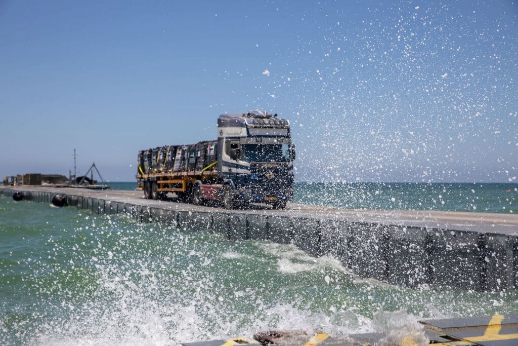
 On May 17, 2024, the US began operating a temporary floating pier off the coast of Gaza. Since the project’s announcement, many have expressed skepticism towards the pier’s effectiveness and deep concern regarding the US’s long-term plans and the pier’s potential role in serving Israeli objectives. This commentary examines the pier’s operations and unpacks the many incentives for its development by key geopolitical players. It positions the pier within Israel’s longer-term strategy for Palestine, using the structure as a window into understanding the regime’s broader regional aims. Temporary or not, this commentary contends that the pier must not be viewed as merely a short-term humanitarian effort, but also as a symbol of the US and Israel’s continued imperial and colonial endeavors.

-
- Resources
- Media & Outreach
- The Network